
- Length
- 86.42 m
- Rise
- +28.06 m
- Slope
- 18.0°
Elevation profile metres
Upload your drone photos. Get a 3D map you can measure, and see how sure every volume is.
2 free flights. No card needed.
Tutorial

With OJAS 4D, the photos from one drone flight become a 3D map you can measure. Here's how it works, from start to finish.
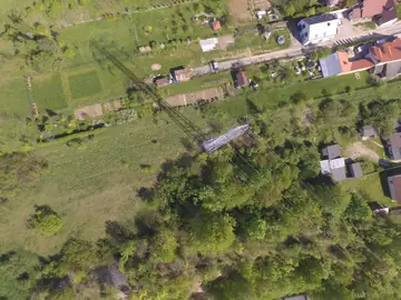
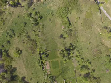
Start in the field. Fly a simple grid over your site, with the camera pointing straight down and 70–80% overlap between photos, front and side.
Then create your account. It's free to start: two flights of up to 200 photos each, and no card needed.
Drop in the photos from your flight. Before anything is sent, they're checked right in your browser: how many there are, their size, the camera, and their location. So a bad upload is caught in seconds.
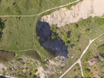
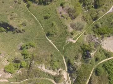
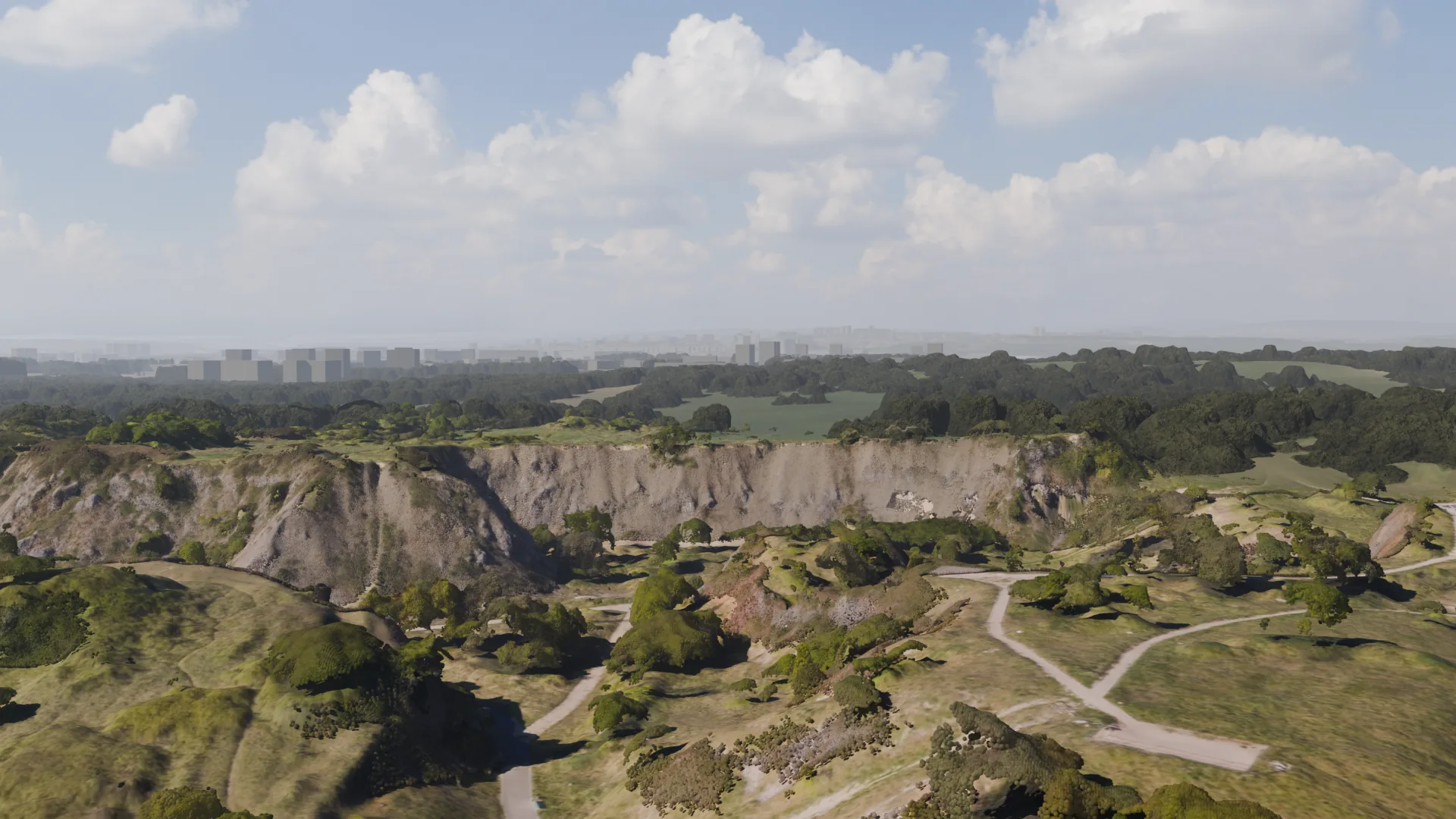
Next, OJAS 4D builds your site in 3D, in the cloud. A flight like this quarry, 225 photos, takes about an hour. You don't need to watch it. The Flights page shows where it is.
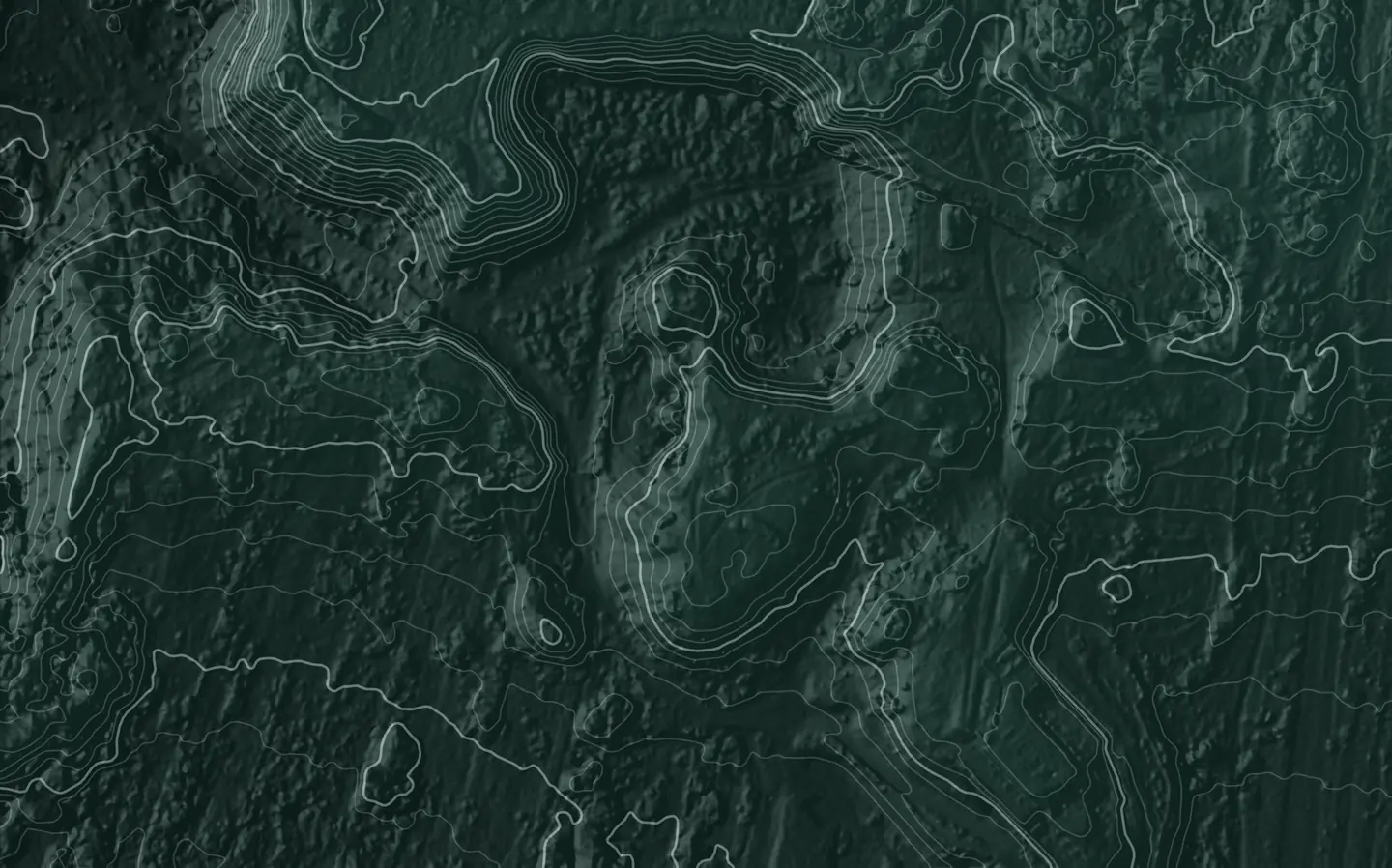
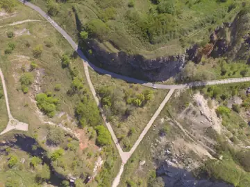
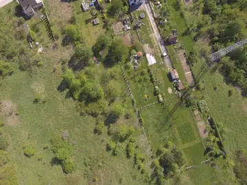
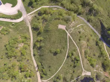
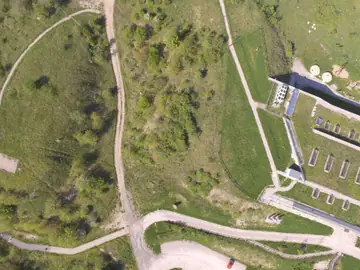
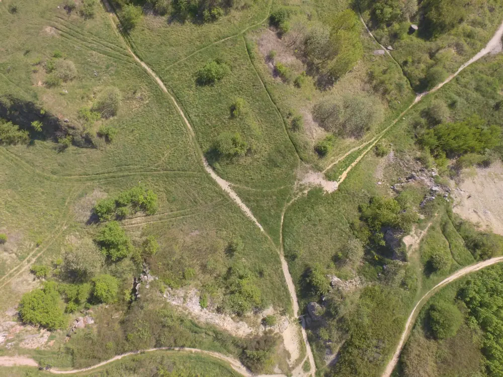
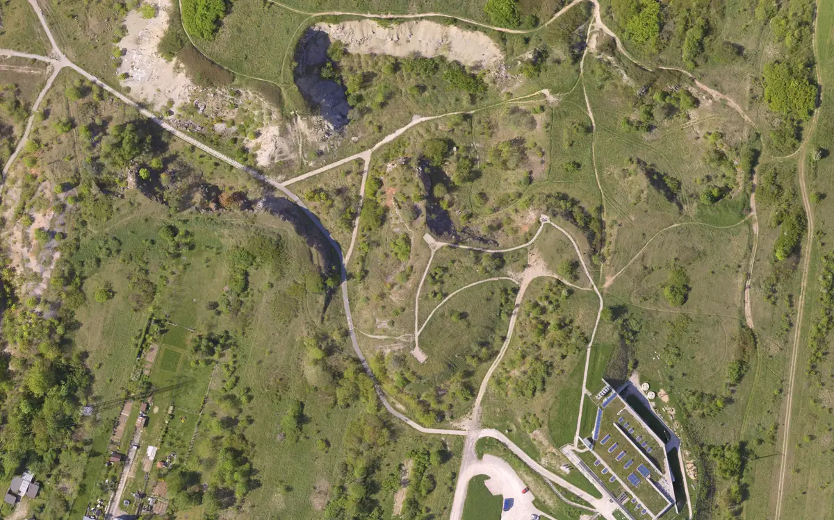
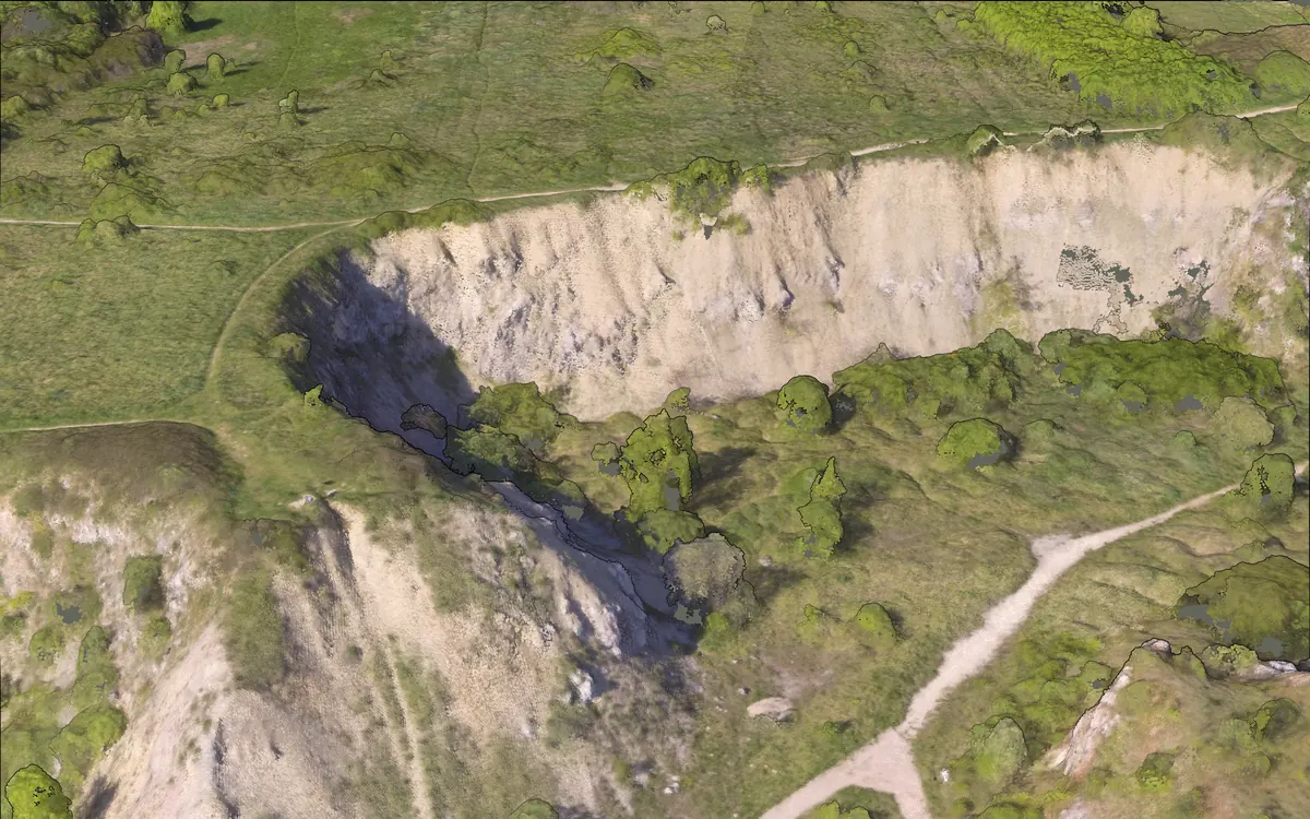
When it's ready, open the map. Your photos become one map of the site, true to scale: five centimetres to a pixel here. And you can turn it in 3D.
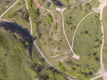
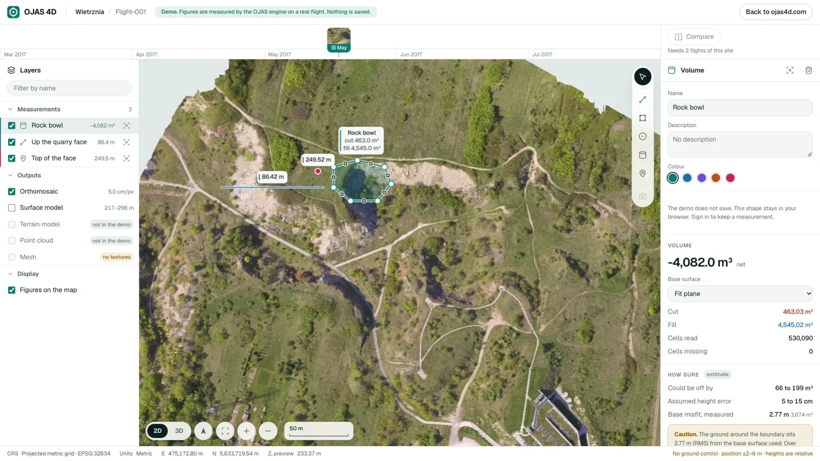
To measure, pick a tool and click on the map. Draw a line, and you get its length, how much it rises, and its slope. Open the profile to see the ground along it.
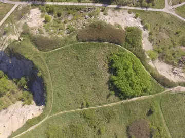
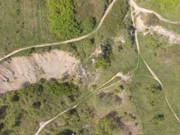
Draw around a pile or a pit, and you get its volume. Right next to the number, you see how far off it could be. For this rock bowl, 66 to 199 cubic metres, an estimate. Every volume says how sure it is.
And if you draw where your photos didn't reach, it won't guess. It tells you why, instead of making up a number.
When you're done, download all five files: the map, the surface and terrain models, the point cloud, and the 3D mesh. They're standard formats, for your GIS, CAD and survey software.
Fly it. Upload it. Measure it. Start free at ojas4d.com.
How it works
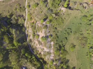
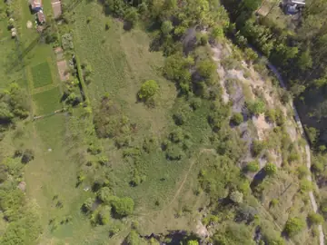
Take overlapping photos from above.
Drop them into your browser.
One sharp, to-scale map of the whole site.
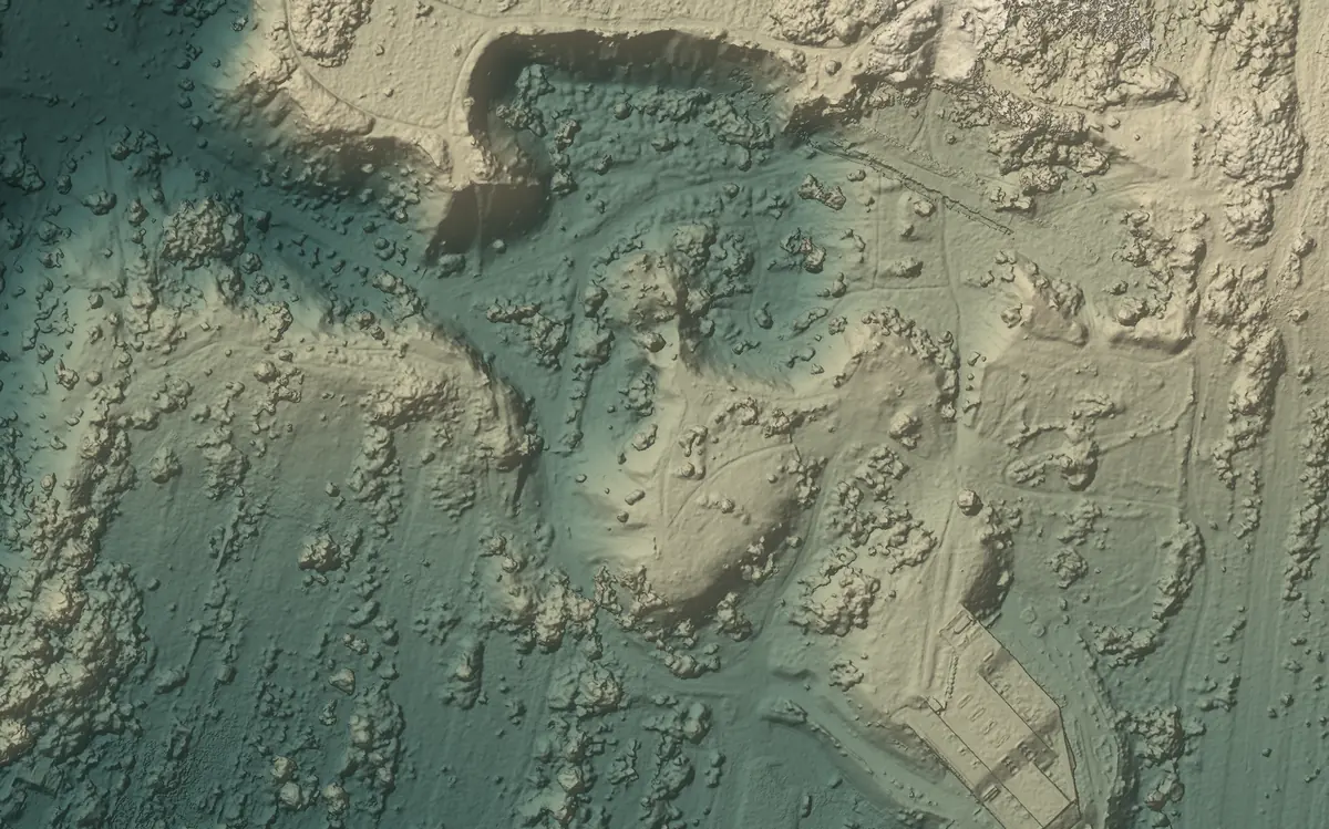
Every height, in colour, in 3D.
The workspace
Click to draw. Get the number.

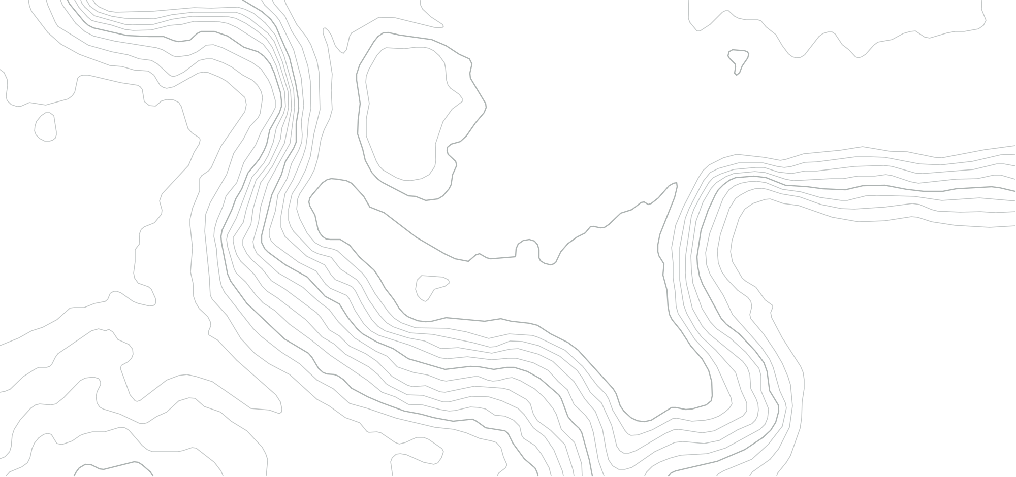
Measure
Lines, areas and volumes, measured on the map itself.
−4,082.0 m³ net
Could be off by 66–199 m³ estimate
Draw your ownHow sure
Next to each volume you see how far off it could be. So you know when to trust it.
Rock bowl
−4,082.0 m³
could be off by 66–199 m³
Flat ground should measure zero. The range caught it three times out of four. It missed on water.
1–3× the pixel size
Lengths and heights within your map. 5–15 cm on this quarry.
2–6 m
Where the map sits on Earth, without ground markers.
Heights are relative to the flight. Ground markers are coming soon.
When it can’t
If your photos don’t cover an area, OJAS 4D tells you why instead of making up a number.
See it in the demo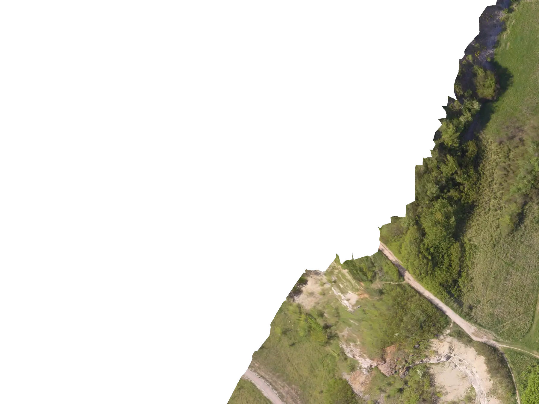
Volume
100.0% of the area inside the boundary has no elevation data — a volume over holes would be a guess. Shrink the boundary to covered ground.
What you get
Standard formats for your GIS, CAD and survey software.
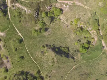
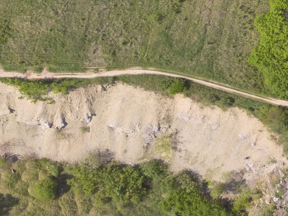
One sharp, to-scale photo of the site.
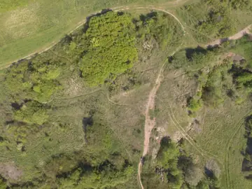
The height of everything: ground, trees, roofs.
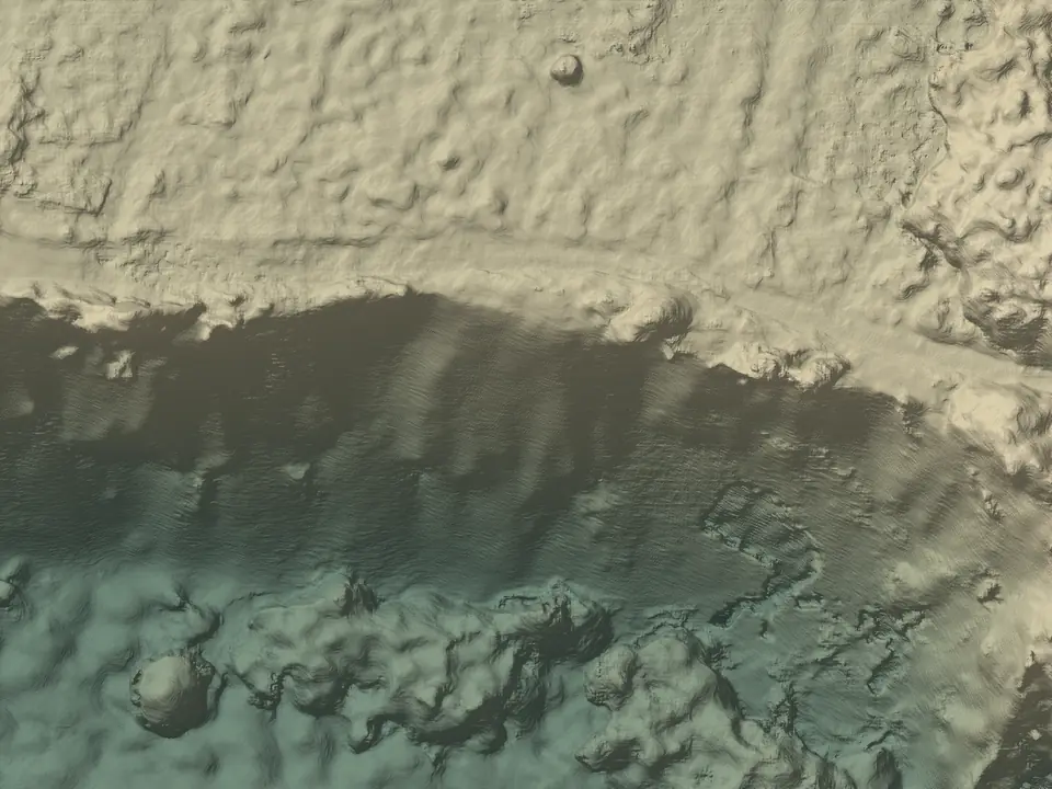
The bare ground.
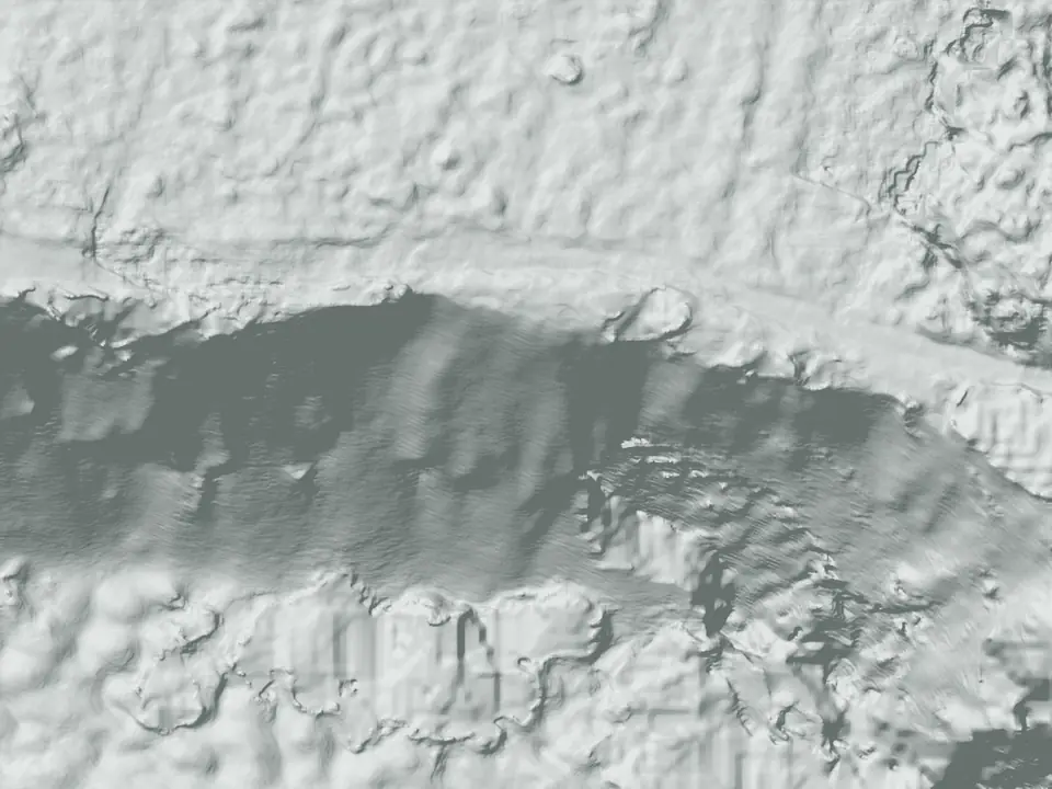
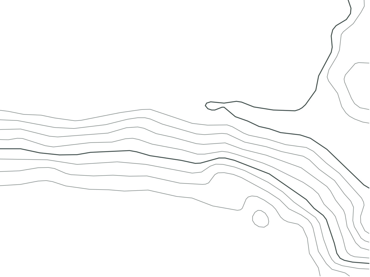
Millions of 3D points, in colour.
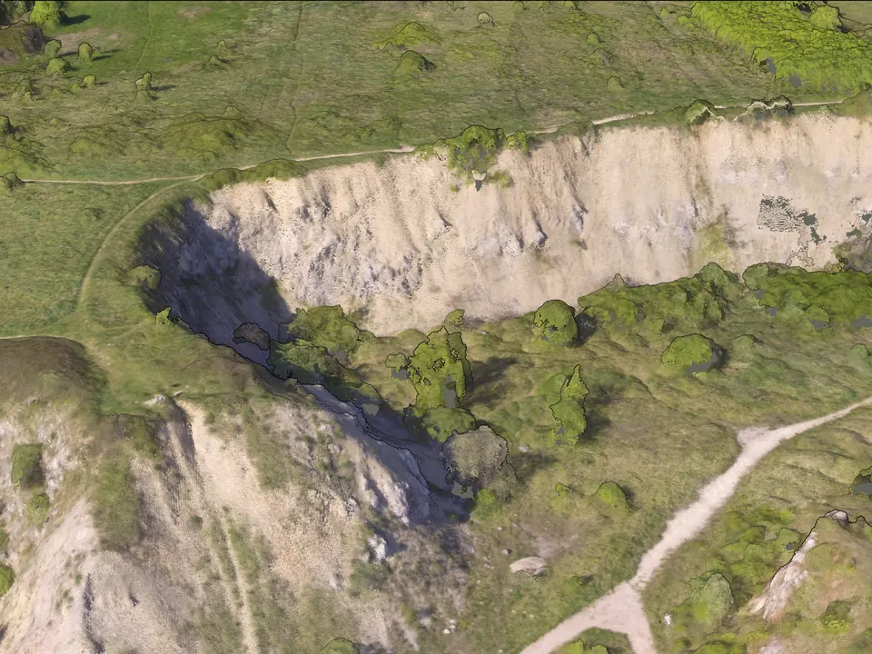
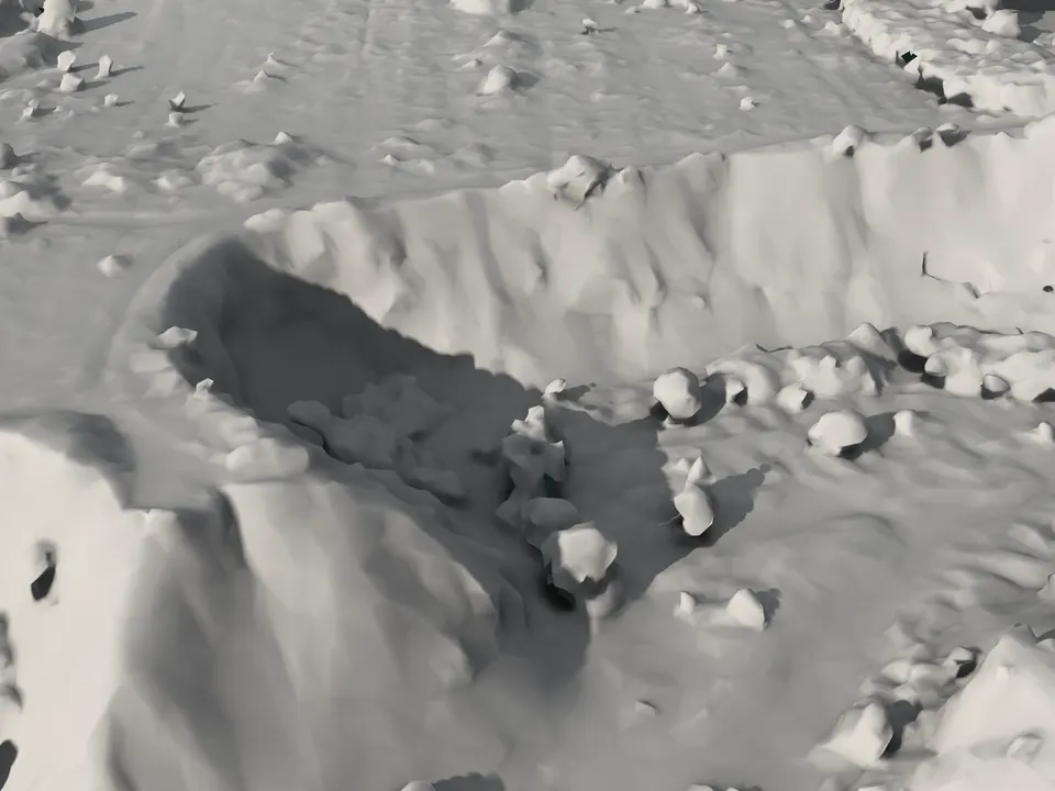
The site as a 3D surface.
Pricing
Start free. Upgrade when you need more flights.
₹0
Try it on a real site
₹4,799 a month
For one operator
₹11,999 a month
For teams
₹36,099 a month
For survey firms
Flying more than 850 photos in one flight? Write to us first. Prices in Indian rupees, GST included: what you see is what you pay. Billed monthly.
Any drone whose photos keep their GPS location. Upload the original files, not edited ones.
Fly a grid with 70–80% overlap, camera pointing straight down.
It depends on the number of photos. The 225-photo quarry on this page took about an hour.
Yes. They are standard GeoTIFF, LAZ and OBJ files.
Not yet. Heights are relative to the flight: right for differences within the map, not for absolute elevation. Ground markers are coming soon.
Yes. It is a real flight processed by OJAS 4D. Draw your own measurements; nothing is saved.